01
Planning
Structured land use and infrastructure planning provides the framework for future growth.

Explore visual references covering Dholera's planned infrastructure, industrial ecosystem, connectivity and overall development.
01
Planning
02
Infrastructure
03
Industry
04
Connectivity
Dholera's development combines planned urban infrastructure, industrial zones, connectivity and strategic economic activity. This gallery brings those different aspects together in one visual overview.
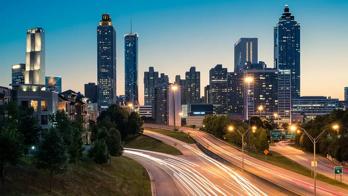
City Development
Dholera Smart City
A visual overview of Dholera and its planned large-scale development.
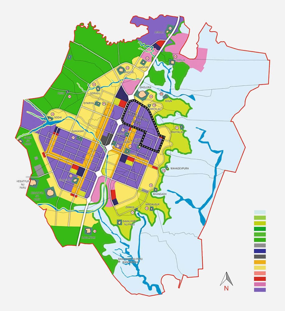
Planning
Dholera SIR Planning
Planned land use, zones and the overall development framework.
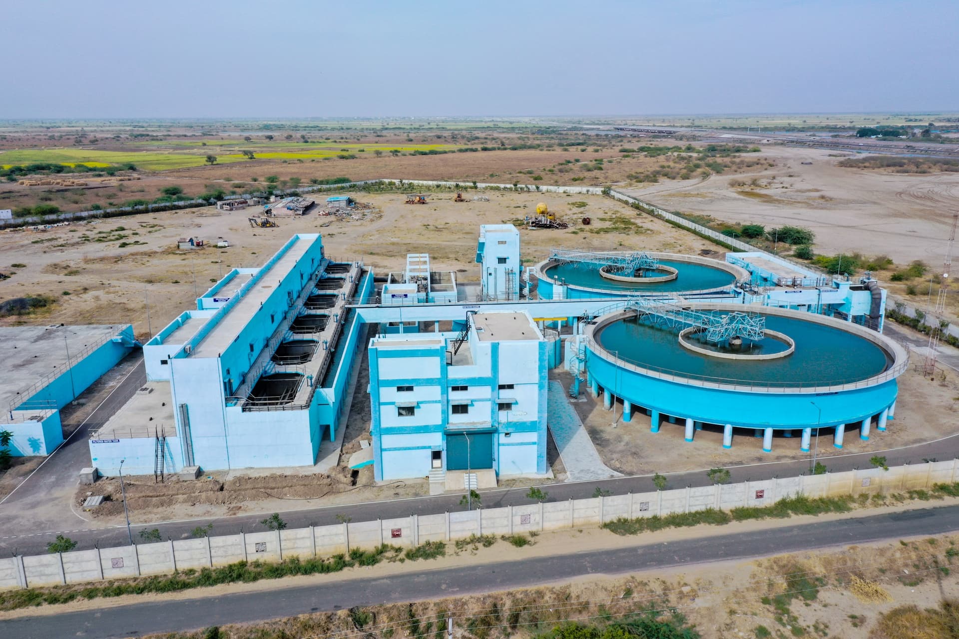
Industry
Industrial Development
Industrial infrastructure forming the foundation of the emerging ecosystem.

Technology
Semiconductor Ecosystem
Dholera's growing focus on advanced manufacturing and semiconductor activity.
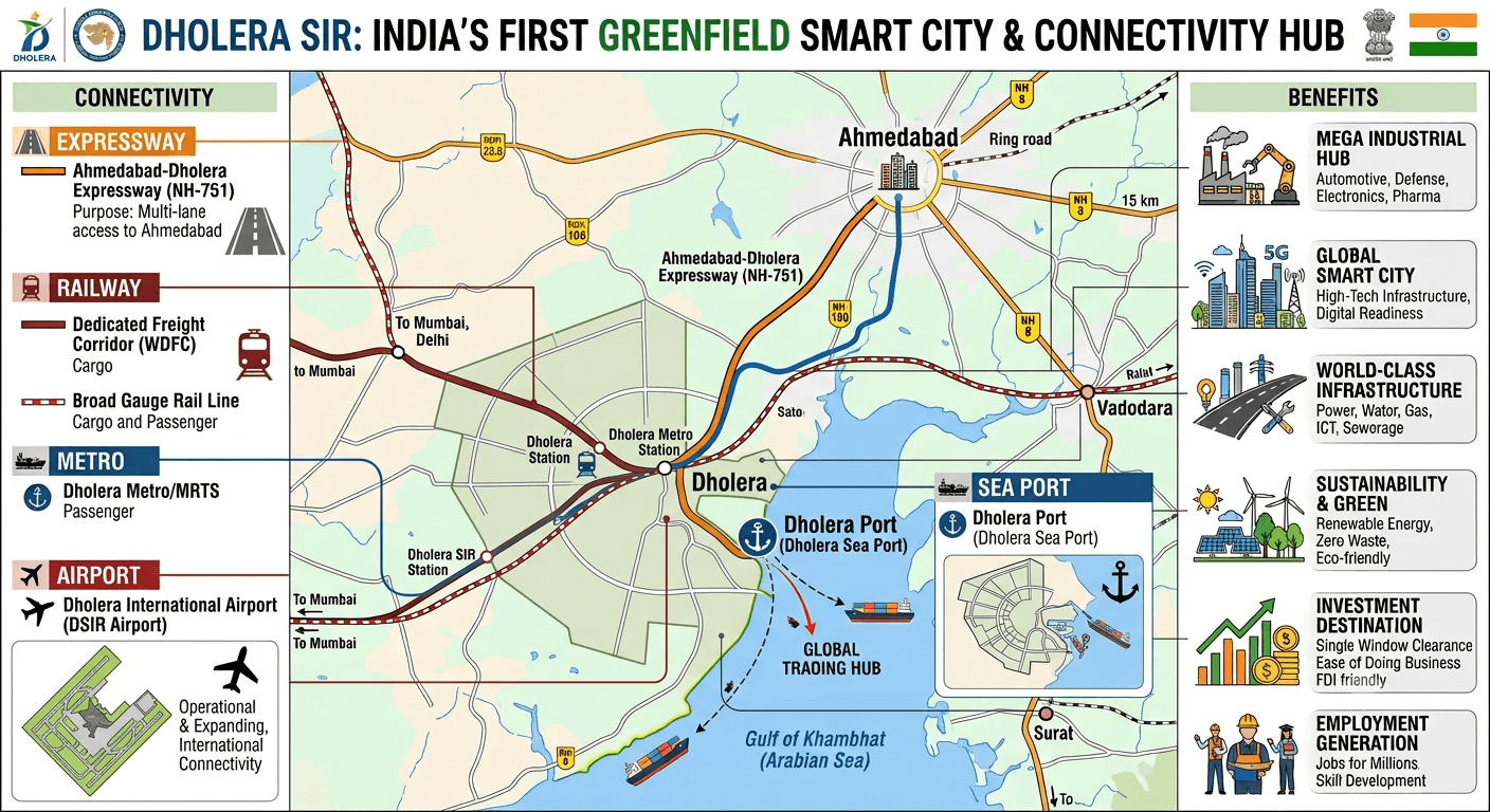
Infrastructure
Regional Connectivity
Connectivity infrastructure linking Dholera with the wider region.
Dholera's development can be understood through several connected layers. Each one contributes to the wider regional ecosystem.
Structured land use and infrastructure planning provides the framework for future growth.
Roads and utility networks create the physical foundation for development.
Industrial development introduces manufacturing, technology and supporting economic activity.
Regional transport connections help integrate Dholera with surrounding economic networks.
The development of Dholera is based on a planned regional framework rather than isolated projects. Land use, infrastructure and industrial development are connected through this larger plan.
Learn About Dholera↗Explore the development process, infrastructure, location and factors shaping Dholera SIR.